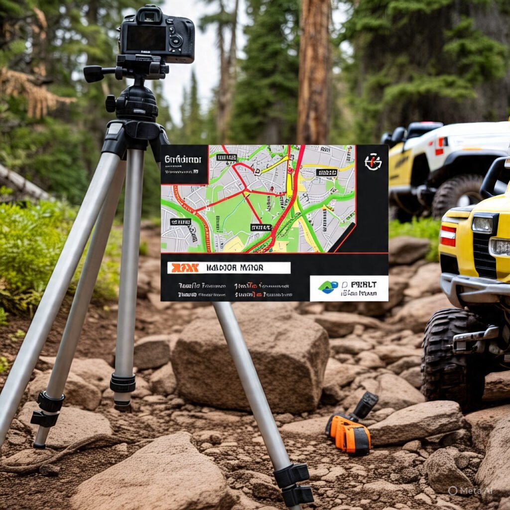


Why Off-Road Navigation Systems Are Essential for Every Trail
Off-roading presents unique challenges that demand far more than just a sense of adventure. Navigating through rugged terrains, dense forests, or vast deserts requires a reliable off road navigation system that won’t quit when you need it most. An unfortunate realization often hits when you find yourself lost, solely relying on a smartphone—only to discover that cell service is non-existent in remote areas.
Personal experience has taught me that a moment of distraction or an unexpected detour can lead to serious confusion without proper GPS for off road use. While modern technology excels at providing convenience on paved roads, its limitations become glaringly obvious in off-road environments. Dead zones, weak satellite signals, and fragile hardware can turn an exciting exploration into a dangerous situation.
For this reason, having a comprehensive understanding of offroad navigation is not merely beneficial—it is imperative for ensuring a successful and safe journey. Familiarity with traditional maps, compasses, waypoints, and modern digital tools enhances your capability to traverse challenging landscapes while minimizing the risk of getting lost. Off-road navigation is as much about the journey as it is about the destination.
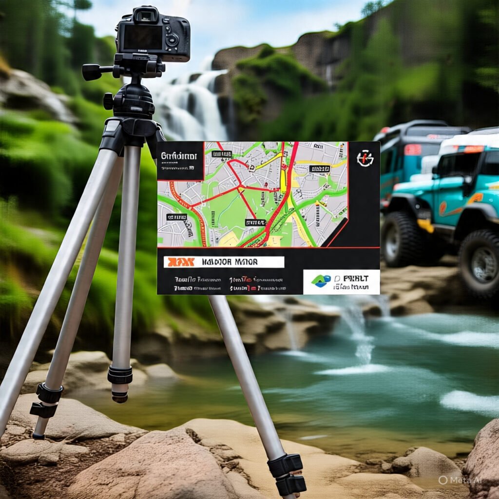
Off-Road Navigation for Beginners: Where to Start
If you’re new to trail riding, off-road navigation for beginners starts with three foundational pillars: preparation, redundancy, and practice. Before you ever leave the garage, download offline maps for your entire route and the surrounding area. Apps like Gaia GPS and OnX Offroad let you cache detailed topographic layers directly to your device, so you’re never dependent on cell service.
Next, invest in a basic off road navigator device or a rugged tablet that can handle dust, water, and vibration. Beginners should also carry a physical paper map and a magnetic compass as fail-safe backups. These analog tools never run out of battery and work in any conditions.
Finally, practice your navigation skills on familiar, well-marked trails before attempting remote expeditions. Learn to read contour lines, identify landmarks, and drop digital waypoints at key intersections. This layered approach builds confidence and ensures you’re never caught off guard when the trail gets technical.
My Go-To Off-Road Navigation Apps
In the realm of off road navigation, having reliable software is just as critical as having rugged hardware. As an enthusiast dedicated to exploring trails, I have found Gaia GPS and OnX Offroad to be indispensable additions to my navigation toolkit. These applications enhance safety and significantly enrich the overall outdoor experience.
Gaia GPS stands out primarily due to its extensive collection of offline maps, which allow users to access detailed topographic layers even when away from cellular service. The app supports various data layers, enabling you to view terrain details, trails, and other pertinent information that could affect travel decisions. Gaia GPS also offers waypoint marking capabilities, empowering users to note specific locations of interest—whether for hunting, camping, or scenic overlooks.
OnX Offroad, on the other hand, caters specifically to off-road enthusiasts with its comprehensive mapping system designed for trails. This app provides offline access, allowing users to download maps and terrain features in advance. OnX Offroad excels in its ability to indicate trail difficulty levels and land ownership boundaries, informing users about where they can legally explore. According to Popular Mechanics, OnX’s turn-by-turn navigation has become a benchmark for the industry.
Garmin Tread vs OnX Offroad: Which Off-Road Navigator Wins?
One of the most debated topics in the trail community is Garmin Tread vs OnX Offroad. Both platforms serve different purposes, and understanding their strengths helps you choose the right offroad navigator for your needs.
The Garmin Tread is a dedicated, ruggedized hardware unit built for powersports. It features a 5.5-inch glove-friendly display, IPX7 water resistance, and preloaded topographic maps with public and private land boundaries. The Tread runs independently of your phone, meaning it won’t drain your smartphone battery or rely on fragile phone hardware. It also integrates with Garmin’s inReach satellite communication for SOS capabilities.
OnX Offroad is a software-first solution that runs on your smartphone or tablet. Its subscription model gives you access to constantly updated trail data, community-sourced route conditions, and detailed land ownership layers. OnX is more affordable upfront and benefits from frequent map updates pushed directly to your device. However, it depends on your phone’s durability and battery life.
For dedicated trail riders who want a bombproof, standalone unit, the Garmin Tread is the superior choice. For weekend warriors who want maximum trail data at a lower cost, OnX Offroad on a rugged phone or tablet is hard to beat. Many serious off-roaders, including myself, run both—a Garmin Tread as the primary off road navi unit and OnX Offroad as a secondary reference on a tablet.
Specialized GPS for Off-Road Use: Dedicated Devices
When venturing into the wilderness, specialized off-road navigation gear plays a crucial role in ensuring both safety and enjoyment. Dedicated GPS devices, such as the Garmin Overlander, Montana 700i, and Tread series, stand out for their purpose-built features tailored to off-road enthusiasts. These devices offer significant advantages over standard navigation apps, primarily due to their ruggedness, larger screens, and enhanced reliability in extreme conditions.
Check out our off-road collection Amazon products
SHOP THE COLLECTIONThe Garmin Overlander is particularly noteworthy, designed to withstand the rigors of off-road adventures. It features a robust casing resistant to shock and water, which is essential when traversing unpredictable terrains. Its large, high-resolution display provides clear visibility of maps and navigation details, even under bright sunlight. The device comes preloaded with off-road maps from sources like Tracks4Africa and iOverlander, enhancing your ability to explore and discover new trails.
Similarly, the Garmin Montana 700i offers a versatile solution for multi-sport activities, providing excellent navigation capabilities whether on foot, bike, or in a vehicle. Its expansive touchscreen display is ideal for viewing detailed routes and topographic maps. With features like route planning, POI management, and built-in inReach satellite communication, the Montana simplifies complex navigation tasks while adding a critical safety layer. As Notebook Check reported, Garmin’s latest rugged navigators continue to push the boundaries of extreme-weather performance.
Advanced Off-Road Navigation Techniques
Once you’ve mastered the basics, advanced off-road navigation techniques can dramatically improve your trail-riding confidence and efficiency. One key skill is terrain association—the ability to match what you see on a topographic map with the physical landscape around you in real time. This involves reading contour line spacing to anticipate steep climbs, identifying saddles and ridgelines, and using drainage patterns to orient yourself.
Another advanced technique is dead reckoning, which involves tracking your direction and distance traveled from a known starting point using a compass and odometer. This is invaluable in featureless environments like open desert or dense fog where visual landmarks are scarce. Pairing dead reckoning with digital waypoints creates a powerful hybrid navigation system.
Experienced off-roaders also practice route planning with multiple bailout options. Before each trip, I identify at least three alternate exit routes and mark them as waypoints. This ensures that if a trail is blocked by a washout, fallen tree, or mechanical issue, you always have a pre-planned escape route. These advanced skills separate casual trail riders from truly self-sufficient explorers.
Power Supply: Keeping Your Off-Road Navi Devices Charged
When embarking on an off-road adventure, maintaining a reliable power supply for navigation devices cannot be overstated. Having fully charged devices is crucial for navigating unfamiliar terrains, avoiding potential hazards, and enhancing the overall adventure experience. Without sufficient power, you risk becoming disoriented, which can lead to unsafe situations while off the beaten path.
Recommended Insights From Our Guide Library:
- My Off-Road Navigation Essentials: Stay Found, Have Fun!
- Mastering Off-Road Navigation: Engineering Resilience for Extended Trail Expeditions – Pioneer Honda Lovers
- The Navigator’s Edge: Essential UTV Rally Racing Navigation Systems – Pioneer Honda Lovers
- Beyond the Beaten Path: Exploring Hidden Trails with GPS and Mapping Apps – Pioneer Honda Lovers
- Navigating The Deep Woods With Precision Navigation Gear – Pioneer Honda Lovers
One popular option is to invest in high-capacity external battery banks (20,000mAh or higher), which provide a convenient source of power for smartphones, tablets, or GPS units. These portable chargers are compact, lightweight, and capable of holding multiple charges, allowing for extended use of navigation tools without the immediate availability of an electrical outlet.
Additionally, utilizing in-vehicle chargers is an excellent way to keep devices powered while on the move. Most modern powersport vehicles come equipped with USB ports or accessory outlets that allow users to charge devices as they drive. For extended expeditions, a solar-powered charger provides an eco-friendly backup solution that is highly effective in remote areas where traditional charging options are inaccessible.
The Importance of Secure Mounts
When embarking on off-road adventures, a stable and secure mounting solution for smartphones, tablets, and GPS units significantly enhances the experience. Off-road conditions can be unpredictable, and rough terrain can easily lead to equipment damage or loss of navigation functionality.
Secure mounts ensure that devices remain fixed in place, reducing the risk of them bouncing around or falling off during the ride. The vibration and shocks experienced on rugged trails can dislodge devices if they are not properly secured, potentially leading to malfunctions or even accidents. A quality RAM Mount or Bulldog Mount system keeps your navigation device accessible while allowing you to keep your eyes on the trail ahead.
Proper positioning enhances the ability to consult maps or receive navigational prompts without distraction. A well-placed mount ensures that the device is easy to see and reach, allowing for seamless interaction even in challenging driving conditions. Moreover, investing in high-quality, vibration-dampening mounts can prolong the life of your devices by minimizing the risk of accidental damage from drops or impacts.
Map Smarts: Mastering Offline Navigation
Cell service can be notoriously unreliable in remote areas, making reliance on mobile data a risky proposition. To ensure seamless navigational experiences, it is crucial to prepare in advance by downloading offline maps before setting off on any off-road journey. Offline navigation allows you to access critical map information without the need for a cellular connection.
Many mapping applications offer options to download specific areas, enabling you to store comprehensive topographical data, trails, and points of interest directly on your device. This level of preparation not only enhances your experience but also significantly reduces the risk of getting lost in unfamiliar terrains. Offline maps often provide vital insights including elevation profiles, terrain types, and water sources.
Popular choices among off-road enthusiasts in 2026 include Gaia GPS, OnX Offroad, and Komoot, all of which emphasize robust offline capabilities. Before your trip, familiarize yourself with the features and ensure that you have covered your intended routes, noting potential hazards and alternative paths. Mastering offline navigation is a critical component of successful off-road adventures.
Understanding Topographic Maps
Topographic maps are invaluable tools for off-road navigation, providing critical details about terrain features and elevation changes. To effectively utilize these maps, one must learn to read and interpret various elements, such as contour lines, scales, and symbols. Contour lines represent lines of equal elevation on a map. Closely spaced contour lines indicate steep terrain, while widely spaced lines suggest gentle slopes.
By analyzing contour patterns, off-road enthusiasts can better assess the landscape they are entering, allowing for informed decision-making regarding routes and potential hazards. The scale of a topographic map is another critical component. A 1:24,000 scale indicates that one inch on the map represents 24,000 inches (approximately 2,000 feet) in the real world. Familiarizing yourself with the scale ensures proper navigation and reduces the likelihood of getting lost.
Symbols are equally important when interpreting topographic maps. These represent various features such as roads, trails, rivers, and landmarks, allowing users to understand their surroundings better. Learning standard USGS map symbols simplifies navigation in heavily trafficked areas, making it easier to avoid crowded trails or obstacles.
The Importance of Paper Maps as a Backup
In today’s digital age, the value of traditional paper maps may often be overlooked. However, for off-road enthusiasts, having a physical backup is not merely a nostalgic preference—it is a necessity that enhances both reliability and safety. The unpredictable nature of off-road terrains can lead to scenarios where technology fails: dead batteries, lack of signal, or device malfunctions.
Paper maps provide a tactile experience that digital devices cannot replicate. They allow users to visualize the entire landscape at once, providing a comprehensive overview of routes, landmarks, and potential hazards. Unlike digital maps that require zooming in and out, paper maps deliver instant accessibility to information, reducing the time needed for navigation decision-making.
Moreover, the reliability of paper maps is unmatched in remote areas where cellular signals and satellite connections are often unreliable. Carrying a set of well-marked, updated maps from publishers like Benchmark or National Geographic ensures that adventurers can navigate confidently even in the absence of technology. For anyone seeking to enhance their off-road adventures, incorporating traditional navigation methods is essential.
Frequently Asked Questions About Off-Road Navigation Systems
What is the best off road navigation system for beginners?
Check out our off-road collection Amazon products
SHOP THE COLLECTIONFor beginners, the best off road navigation system combines a user-friendly app like OnX Offroad or Gaia GPS with a rugged smartphone or tablet. These apps offer intuitive interfaces, offline map downloads, and trail difficulty ratings that help new riders build confidence on the trail.
Do I need a dedicated GPS for off-road use?
While smartphone apps work well for casual trail riding, a dedicated GPS for off-road use like the Garmin Tread or Montana 700i offers superior durability, longer battery life, glove-friendly screens, and satellite communication capabilities that smartphones simply cannot match in extreme conditions.
How does Garmin Tread compare to OnX Offroad?
The Garmin Tread is a standalone, ruggedized hardware unit with preloaded maps and satellite SOS features, ideal for serious off-roaders. OnX Offroad is a subscription-based app with constantly updated community-sourced trail data, better suited for riders who want maximum trail information at a lower cost. Many enthusiasts use both together.
Can I use Google Maps for off-road navigation?
Google Maps is not recommended as a primary off-road navigation tool. It lacks detailed trail data, land ownership boundaries, and topographic information. However, it can serve as a useful backup when transitioning from unpaved trails back to paved roads, especially if you pre-download offline areas.
What should I do if my GPS fails on the trail?
Community Reference & Authority Resources:
Always carry a paper map and magnetic compass as backups. Learn basic terrain association and dead reckoning skills before your trip. If your GPS fails, stay calm, identify your last known position on the paper map, and use visible landmarks and the compass to navigate back to a known route or trailhead.
🔍 Explore More: See all guides for Honda Pioneer.