The engine rumbles, the tires hum, and the pavement melts away behind you.
There’s a quiet satisfaction in leaving the asphalt and hitting the trail, knowing you’re about to explore the untamed beauty of the world.
As a fellow enthusiast, I know that feeling well.
I’ve spent countless weekends chasing sunsets down dusty roads, seeking out the kind of raw, unfiltered adventure you can only find when you go off the grid.
It wasn’t that long ago that a paper map and a compass were your only guides, and getting “comfortably lost” was part of the fun.
Today, modern technology has revolutionized the way we explore.
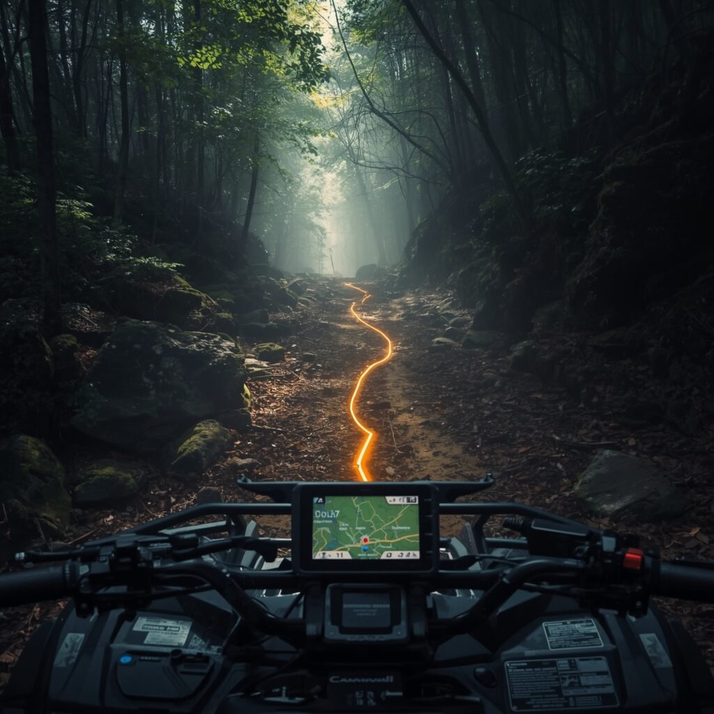
With the right tools, venturing beyond the beaten path: exploring hidden trails with GPS and mapping apps is safer, more efficient, and more rewarding than ever before.
This guide will help you understand the essential tools you need, from rugged GPS devices to powerful apps, to confidently blaze your own trail.
The Digital Co-Pilot: Revolutionizing Off-Road Navigation
The first step to a successful off-road adventure is accepting that you cannot rely on the navigation system in your car.
A standard street GPS or phone service is simply not designed for the backcountry.
Cell signal can be unreliable or nonexistent in remote areas, which is the exact place you want to be.
This is where a dedicated off-road navigation system, whether a standalone unit or a feature-rich app, becomes your most valuable co-pilot.
These tools are built to handle the unique challenges of off-road environments, offering detailed topographic maps, trail databases, and the ability to operate without a cellular connection.
Dedicated GPS Units: Built for the Backcountry
A dedicated GPS unit is a rugged, purpose-built tool designed for the harshest conditions.
Unlike a smartphone, which can be vulnerable to drops, dust, and water, these devices are engineered to military standards for durability.
Their displays are often sunlight-readable, and their physical buttons are easy to use, even while wearing gloves.
The most advanced models also offer critical features like satellite communication,
ensuring you can call for help or send messages when far from civilization.
A top-tier option for overlanding rigs is the Garmin Tread XL.
This powerhouse features a massive 10-inch screen,
providing an expansive, high-resolution view of your route.
It’s more than just a map; it includes useful tools for finding campsites and provides detailed topographic information.
What truly sets it apart is the built-in inReach technology,
which provides global satellite messaging and an SOS function for emergencies,
giving you unparalleled peace of mind on multi-day expeditions.
For the off-roader who loves to document and share,
the Magellan TRX7 CS Pro is a compelling choice.
This device is known for its community-driven features,
allowing you to not only follow a trail but also record your own tracks with a built-in 8MP camera.
You can save waypoints with detailed notes and photos,
which are then saved to a crowd-sourced database for others to use.
It gamifies the experience by letting you earn “Dirt Miles” and achievement badges,
turning every trip into a personal off-road resume.
For those who want a versatile, do-it-all device,
the Garmin Montana 700i is a fantastic handheld option that can also be mounted in your vehicle.
It features a large 5-inch touchscreen that is easy to read in direct sunlight and is built to withstand tough adventures.
Like the Tread XL, it includes inReach technology,
making it a great solution for enthusiasts who engage in a variety of off-grid activities beyond just vehicle-based off-roading.
Table
| Dedicated Off-Road GPS Comparison | ||
| Device Name | Key Feature(s) | Best For |
| Garmin Tread XL | 10″ display, built-in inReach satellite tech, preloaded maps, vehicle-specific features | Dedicated overlanding rigs, long expeditions |
| Magellan TRX7 CS Pro | Built-in 8MP camera, 7″ touchscreen, community-sourced trail database, “Dirt Miles” tracking | Social off-roaders, community contributors, those who love to share their routes |
| Garmin Montana 700i | 5″ sunlight-readable touchscreen, rugged design, optional inReach capability | Versatile enthusiasts who want a handheld and vehicle-mountable solution |
The App Revolution: Unlocking Community-Sourced Trails
While dedicated units are robust, a new generation of smartphone apps has entered the scene, offering a dynamic, community-powered alternative to traditional GPS devices.
The main benefit of these apps is their access to a constant stream of user-generated content, which can provide real-time updates on trail conditions, recent obstacles, and newly discovered routes.
This crowdsourced data makes the community a living, breathing navigational tool.
The most popular contenders are onX Offroad and Gaia GPS.
While they both provide off-road navigation, they cater to different types of users.


The App Showdown: onX Offroad vs. Gaia GPS
Gaia GPS has long been considere the go-to app for serious backcountry explorers and power users.
Its strength lies in its vast number of basemaps and map overlays, including historical USGS maps that can reveal forgotten ghost towns and old mining camps not found on modern maps.
It also features a powerful route creation tool that allows for precise, detailed trip planning.
However, its user interface is often describe as outdated and less intuitive, requiring a bit of a learning curve to master its full potential.
onX Offroad, on the other hand, is a perfect starting point for newcomers due to its incredibly simple and intuitive user interface.
The app’s primary value is its comprehensive library of detailed trail guides, which include ratings, difficulty levels, and vehicle recommendations.
It also provides crucial information on land ownership, helping you avoid trespassing on private property.
While it offers fewer map layers than Gaia, its focus on detailed, easy-to-access trail information makes it a streamlined and non-intimidating tool for confident exploration.
Table
| Off-Road Mapping App Comparison | ||
| App Name | Best For | Standout Feature(s) |
| Gaia GPS | Advanced users, planners, and those who want extensive map layers | Large selection of basemaps and overlays (e.g., historical maps), powerful route creation tools, and trip recording |
| onX Offroad | Newcomers, weekend trail runners, and those who prioritize simplicity and detailed trail information | Intuitive UI, land ownership overlays, and a large database of curated, crowdsourced trail guides |
Trail-Ready Gear: Powering Your Adventure
Your navigation device is only as good as the accessories that support it.
A reliable off-road setup requires a few key pieces of gear to ensure your tools remain functional when you need them most.
Secure Your Device with a Rugged Phone Mount
One of the most overlooked pieces of off-road gear is a quality phone or GPS mount.
Relying on a flimsy suction cup or a cheap vent clip is a recipe for disaster on a rocky, rutted trail.
A wobbly mount can be a dangerous distraction and risks damaging your expensive electronics.
Purpose-built,
rugged mounts are design to withstand the constant vibrations and jarring motions of off-roading,
keeping your device secure and visible.
Options like a Quad Lock Heavy Duty Suction Cup Mount or a BuiltRight Industries Dash Mount offer rock-solid stability,
ensuring your GPS is always exactly where you need it.
Keep the Juice Flowing: The Critical Role of Power Banks
Whether you’re using a dedicated GPS or a smartphone app,
off-road navigation is a significant drain on battery life.
A phone can lose power in a matter of hours,
leaving you stranded without a navigation tool.
This makes a portable power bank or power station a non-negotiable part of your gear list.
For multi-day trips, a heavy-duty option like the Goal Zero Yeti 200X Portable Power Station can be a lifesaver,
with enough capacity to charge a smartphone up to 20 times.
For shorter trips or as a backup, the BioLite Charge 80 PD Power Bank is a more portable alternative,
offering a fast-charging USB-C port that can power multiple devices at once.
The Final Check: The All-Important Backup Plan
As much as we rely on technology, an expert off-roader understands that electronics can and will fail.
A device can lose signal, a battery can die, or the hardware itself can malfunction.
A true professional always has a layered approach to navigation,
ensuring they have a fail-safe to rely on when the digital tools fall short.
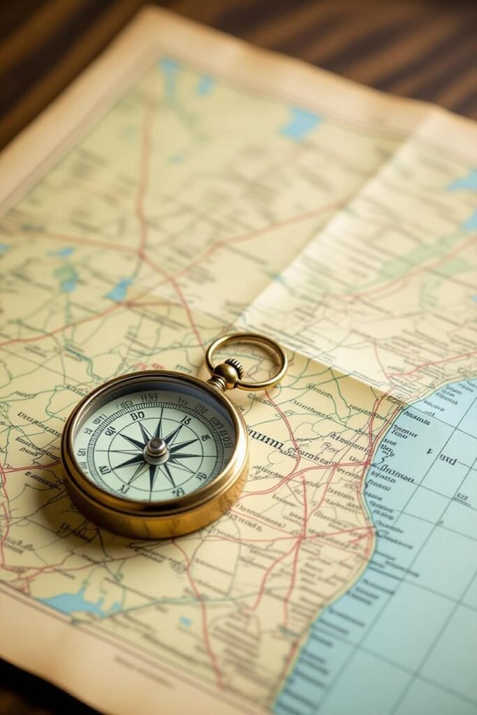
Never Go Off-Grid Without a Paper Map
The ultimate backup plan is a physical, topographical map of the area and a compass.
A paper map requires no power, no signal, and is impervious to drops or water.
Learning how to read topographical information and using a compass is a fundamental skill that every off-road enthusiast should master.
This analog solution is your final line of defense and will keep you safe even in a worst-case scenario.
Troubleshooting Off-Grid Issues
Even with the best gear, you might encounter a lost GPS signal or a device that isn’t working as expected.
Here are a few quick tips to help you troubleshoot common issues :
- Check for Physical Obstructions: Make sure your device has a clear view of the sky and that its signal isn’t being block by a bulky phone case or a mount with a metal backing.
- Toggle Modes: Toggling airplane mode on and off can help refresh network connections and resolve simple GPS errors.
- Disable Power-Saving Mode: Power-saving modes can sometimes disable or limit GPS functionality to conserve battery. Ensure this feature is turned off.
- Restart Your Device: A simple restart can often fix a variety of errors and refresh your device’s settings.
Conclusion
The thrill of exploring beyond the beaten path:
exploring hidden trails with GPS and mapping apps is what defines our passion for off-roading.
Today, we have an incredible array of tools at our disposal that make these adventures more accessible and secure than ever.
Whether you choose a rugged, purpose-built GPS unit or a dynamic, community-driven mapping app,
the right technology empowers you to confidently navigate new landscapes.
The key is to see these tools not just as gadgets,
but as a vital part of your safety and preparation plan.
Remember to always have a backup, stay aware of your surroundings, and respect the wilderness you’re exploring.
The best adventures are those that are well-plan.
Now, get out there and go find that next hidden trail.